The heroic version is not the whole version
Patterdale Mountain Rescue Team is often described in heroic shorthand: steep ground, winter weather, and volunteers moving quickly across Helvellyn. That image is not wrong, but it is incomplete. The more revealing story is not romance or drama. It is systems. Modern mountain rescue depends on mapping, communications, weather interpretation, casualty care, aviation support, and the judgement to know when a situation needs full escalation and when it does not. That is what makes Patterdale genuinely interesting. Not just the visual drama of the landscape, but the structure underneath the response.Mountain Rescue England and Wales says the team, established in 1964, covers Helvellyn, High Street, Fairfield, and nearby valleys and averages around 60 call-outs a year.
The terrain makes that hidden system necessary
Patterdale’s patch includes some of the most recognisable mountain ground in England, but recognisable does not mean forgiving. Popular fells create a strange kind of risk because they can look familiar, manageable, almost routine, right up until weather, visibility or fatigue change the character of the day. In places like Helvellyn, rescue is shaped not only by steep ground and exposure, but by the gap between how accessible a route appears and how serious it can become once conditions shift. That is why rescue in this area has to be both physically capable and operationally disciplined.
Sometimes the smartest rescue is the one that never fully deploys
One official incident from December 2024 shows this especially well. A party of three reported themselves lost on Helvellyn. Patterdale did not automatically turn that into a full fell search. According to Mountain Rescue England and Wales the duty leader used GPS data from the 999 call, then had the group share their live location through WhatsApp while their progress was monitored back towards safety. The team was eventually stood down. It is a useful example because it shows what modern rescue often looks like in practice: not just boots on rock, but call data, remote guidance, and calm judgement about when not to escalate.
The harder edge of rescue reveals the full system
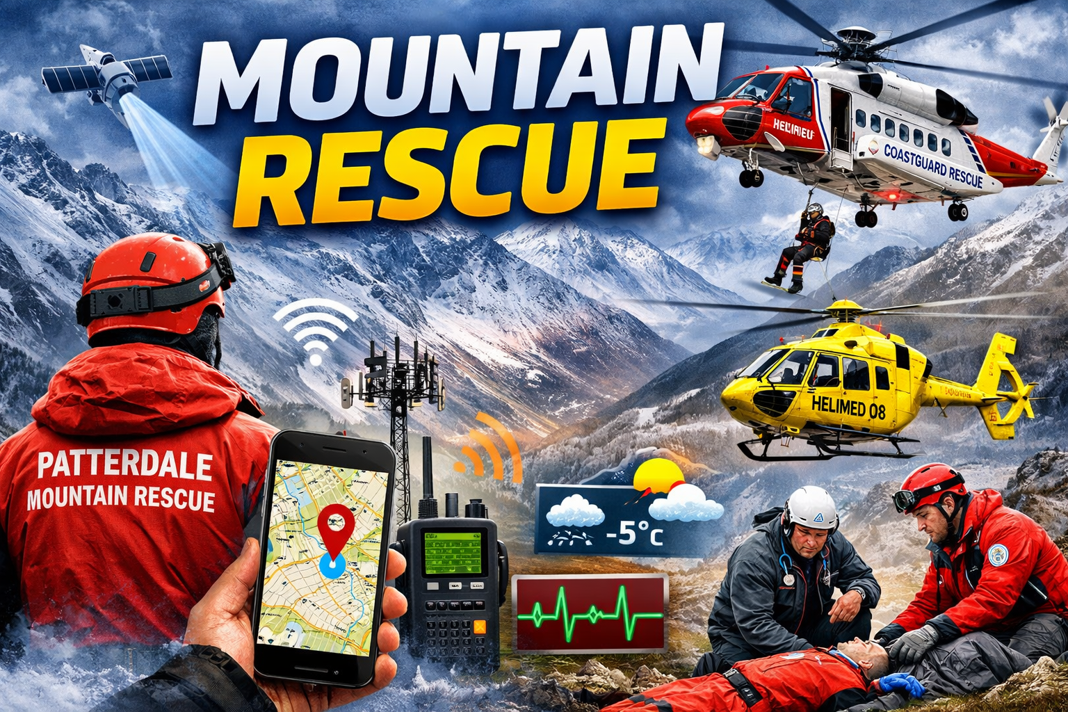
Not every incident can be resolved remotely. Some situations turn serious immediately, and that is where the wider rescue structure becomes visible. In January 2026, after a witnessed collapse above Red Tarn near Swirral Edge, Patterdale MRT was alerted alongside Coastguard Rescue Helicopter 199 and Helimed 08. The official report says a member of the public and an off-duty medical professional started first aid before a Patterdale team doctor and a retired team doctor reached the scene. That is not technology in the glossy sense. It is coordinated emergency response: communications, rapid tasking, aviation support, medical intervention, and experienced people arriving in layers. The official incident report makes clear how quickly that layered response had to form.
The real role of technology is practical, not dramatic
What makes Patterdale compelling in a science and technology frame is not gadgetry for its own sake. It is the way useful tools are folded into experience. Mapping is part of that. Ordnance Survey says its partnership with Mountain Rescue England and Wales gives all 47 volunteer teams access to the OS Maps app for rescue call-outs, while rescue leaders still stress that paper maps, compass skills, and sound navigation remain essential. That combination is the real lesson. Useful tools help. Overconfidence in tools does not. In modern mountain rescue, good systems do not replace judgement. They make judgement more effective.
Weather is not atmosphere; it is operational information
Weather in the fells is not just a backdrop. It changes route choices, access, timing, visibility, and the basic shape of risk. The Met Office’s specialist Lake District mountain forecast tracks the details rescue teams and mountain users actually need: summit wind, freezing level, visibility, cloud base, and hazard conditions. That matters because mountains rarely become dangerous in one dramatic instant. More often, conditions shift gradually until a route that looked manageable starts asking harder questions. Rescue decisions are shaped by that changing picture all the time.
Pressure on rescue teams is rising, not easing
The wider trend makes all this more important. Ordnance Survey, using Mountain Rescue England and Wales data, reported a 24% rise in rescues across England and Wales between 2019 and 2024, and said 2024 was the first year with a call-out every single day. Those numbers matter because they push the story away from isolated mountain drama and towards systems pressure. When call-outs rise, efficiency matters more. Judgement matters more. Remote assessment matters more. So does volunteer capacity. In that sense, the hidden technology of rescue is not a bonus feature. It is part of what keeps the whole structure sustainable. Ordnance Survey’s reporting on MREW data makes that pressure clear.
The strongest story is the least romantic one
What makes Patterdale MRT genuinely interesting is not that it confirms the old heroic image, but that it quietly complicates it. The team’s work shows how mountain rescue functions as a chain of disciplines rather than a single act of bravery: mapping, communications, local knowledge, medical response, aviation support, weather awareness, and the restraint to know when not to overcommit. That is a more believable story than the mythic version, and in the end it is also the stronger one
Verified sources used inside the article
- Mountain Rescue England and Wales – Patterdale Mountain Rescue Team Profile
- Mountain Rescue England and Wales – Party Lost on Helvellyn Remotely Guided from the Fell
- Mountain Rescue England and Wales – Incident Reports and Case Logs
- Ordnance Survey – OS Maps Partnership with Mountain Rescue Teams
- Ordnance Survey – Mountain Rescue Statistics (24% Rise in Call-outs, 2019–2024)
- Met Office – Lake District Mountain Weather Forecast (Specialist Forecast)
- British Mountaineering Council – Rescue Data and Outdoor Safety Analysis
- Ordnance Survey & MREW – Daily Call-outs and Volunteer Pressure Data
- Mountain Rescue England and Wales – Official Website